Type of Walk
Fields, lanes and a Victorian artist.
Distance and Time
4 miles; around 2½ hours including breaks.
Starting Location
Roadside parking in Haydon Bridge.
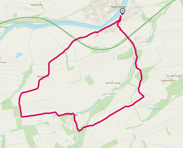
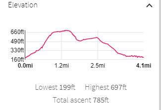
Map of Route and Elevation Profile
Difficulty
Low
Walking the Route
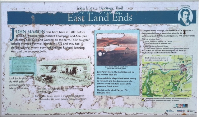
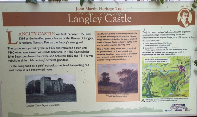
This walk includes a part of the ‘John Martin Trail’, celebrating a Victorian artist.
The trail is here.
More on the artist here.
A shorter work this week due to time constraints and a gammy knee, done in a clockwise direction to get most of the climb over at the start.
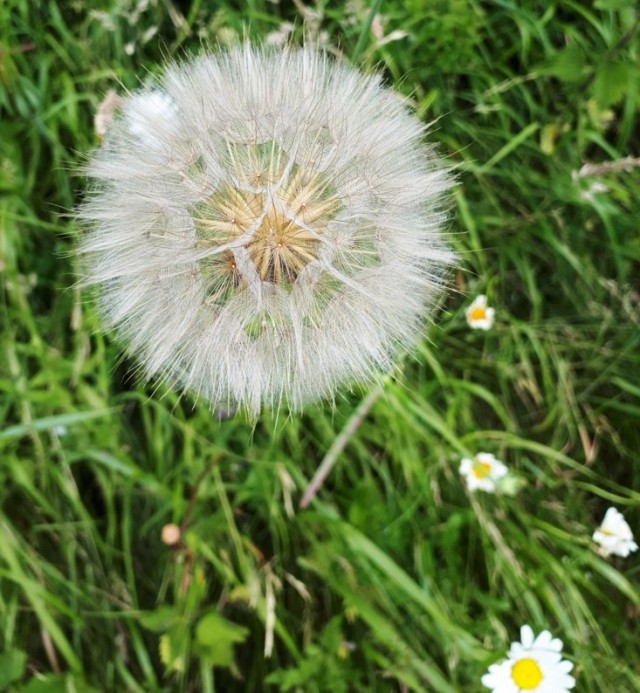
After parking on John Martin Street in Haydon Bridge we walked SW along Shaftoe Street then followed it south to pass under the fairly new bypass. On the way we stopped to admire a large dandelion head.
On reaching the A686 we walked along the verge for a few yards then took a footpath (PROW 520/032) running south into a wood. After crossing a stream we carried on ascending.


Crossing a field and a patch of felled trees we entered more woodland, then emerged to a field with straw presumably waiting to be baled once it had dried.


On reaching the byway 520/050 we turned WSW, happy that most of the walking uphill was done, and stopped for a cold drink. After another km or so we emerged at the road past Langley Castle. Here there was an information board.
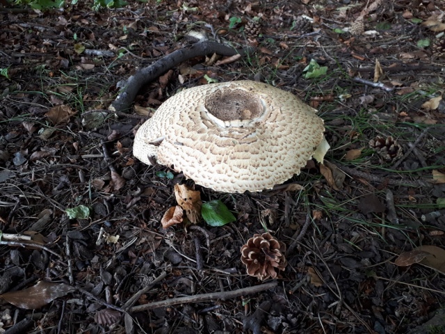
After a short walk north along the verge of the busy (by local standards) A686, passing some impressive funghi,
we turned left along the lane towards Castle Farm. While the sheep played hide and seek it was nice to see that they weren’t the only ones allowed access to the open air.


Turning North then NE we followed the road back towards Haydon Bridge, passing under the bypass again, and passing another information board.